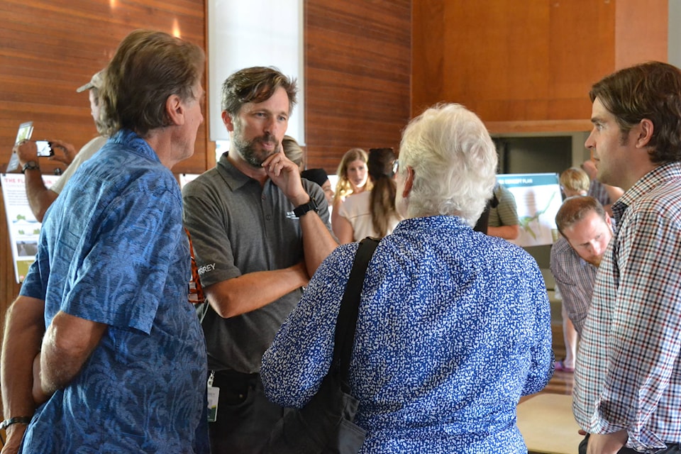
There was no shortage of interest in the second public open house for the City of Surrey’s proposed Nicomekl Riverfront Park.
As many as 100 people at a time came through the open house Tuesday night at Elgin Community Hall on Crescent Road to look at – and discuss – information boards on the proposed three-kilometre linear park, which is to stretch along the riverbank from Elgin Park eastward to 40 Avenue and 156 Street.
Among questions they had for city staff and members of landscape design team PFS Studios was what kind of timeline the project has.
“The overall construction of the whole park is still to be determined,” Surrey parks manager Neal Aven told Peace Arch News, adding that Surrey is expecting some Disaster Mitigation and Adaptation Fund investment from Infrastructure Canada, some of which is related to the Nicomekl area, which could have an impact on timing for the park.
He added that feedback from the open house will be combined with information already received at a well-attended first open house in September, 2018, with a final park concepts and management plan to be submitted to council this September, followed by a detailed park design and engagement phase, which will also allow opportunity for public input.
READ MORE: Nicomekl Riverfront Park open house planned
READ MORE: $76 million pledged for coastal flooding in Surrey and Delta
As shown in the presentation, the park will include seven distinct “character zones” taking into account both the geography and the heritage of the area.
These include Hadden Mill (between Elgin Road and the new King George Boulevard bridge, which will also be the location for the river’s new sea dam); The Oxbow (east of King George Boulevard, including the former Riverside Golf property appropriated by the city); The Creek (at Anderson Creek) and The Meadow (stretching south-east along Highway 99).
East of Highway 99 would be The Flood Plain, followed by The Ravine (in the area of Barbara Creek stretching to the 152 Street Bridge) and The Bluff (from 152 Street to 156 Street).
According to the city’s park vision statement, the park “will link, restore and amplify the unique ecological park zones along the Nicomekl River into a coherent, resilient and beautiful riverfront park experience that layers ecology, history, art, recreation and gathering spaces for young and old, throughout all seasons.”
Featured will be walking trails and opportunities for public interaction with the river through areas to launch canoes and kayaks, while the park will also be planned to address sea-level rise with a variety of approaches.
Part of the process will be to engage area First Nations and the public in working toward principles of reconciliation; to increase the biodiversity and resilience of each character zone, and balance ecological integrity with park programming.
Among those present at the open house were Coun. Allison Patton and well-known local environmentalists David Riley and Margaret Cuthbert, who praised the city’s approach of letting the natural ecology of the riverfront determine the character of the park
“There’s a lot of work still to be done, but this is a good beginning,” Riley said.
Parks planning manager Ted Urich said the city’s Biodiversity Conservation Strategy has provided a useful framework for approaching design of the Nicomekl Riverfront Park.
“We know what we’re getting into well upstream,” he said.
alexbrowne@peacearchnews.com
Like us on Facebook and follow us on Twitter